AR Sandbox: Exploring Landforms and Natural Hazards Activity
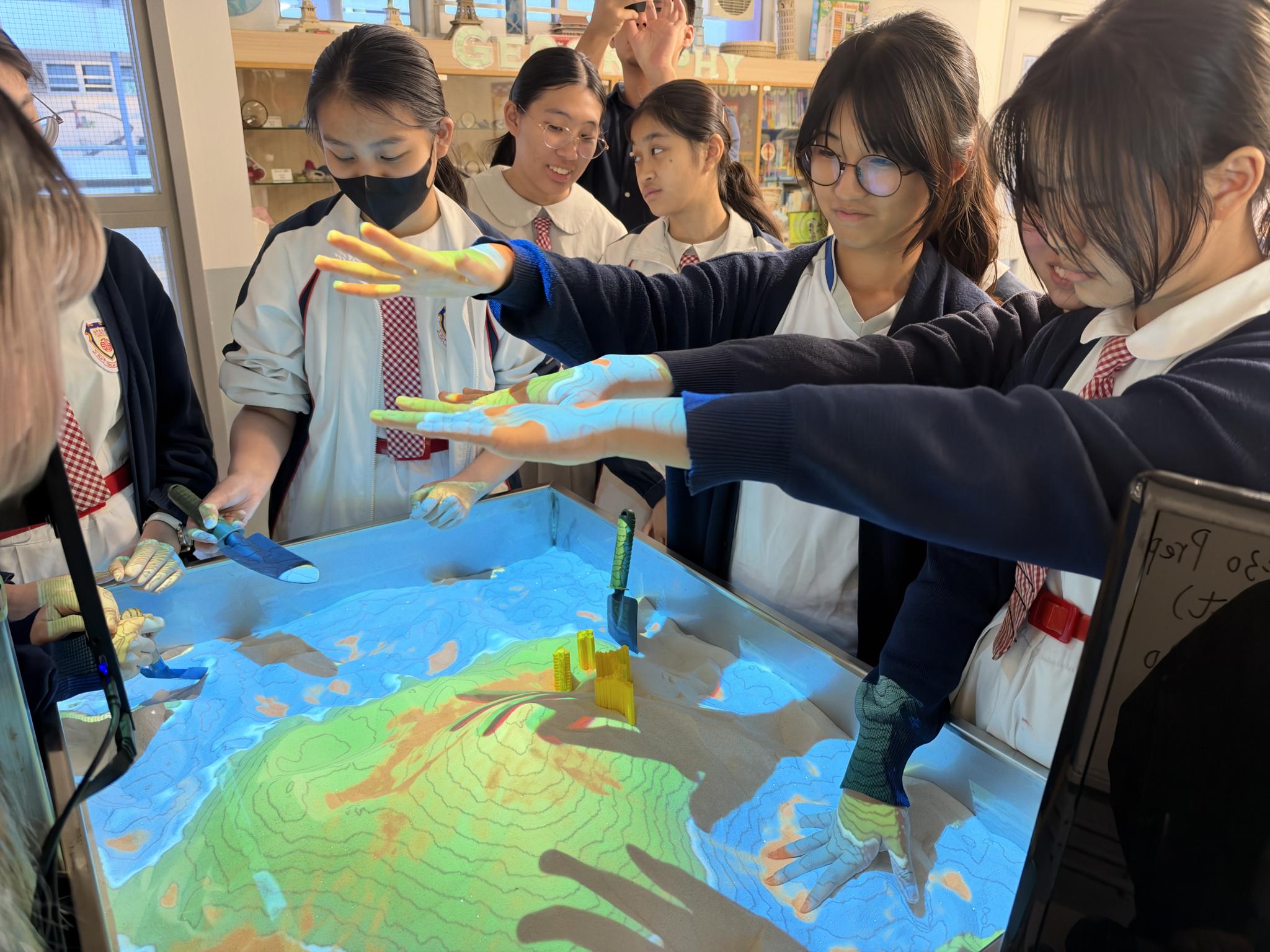
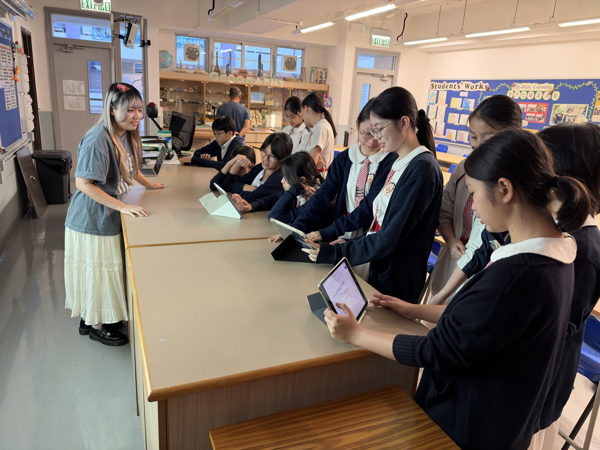
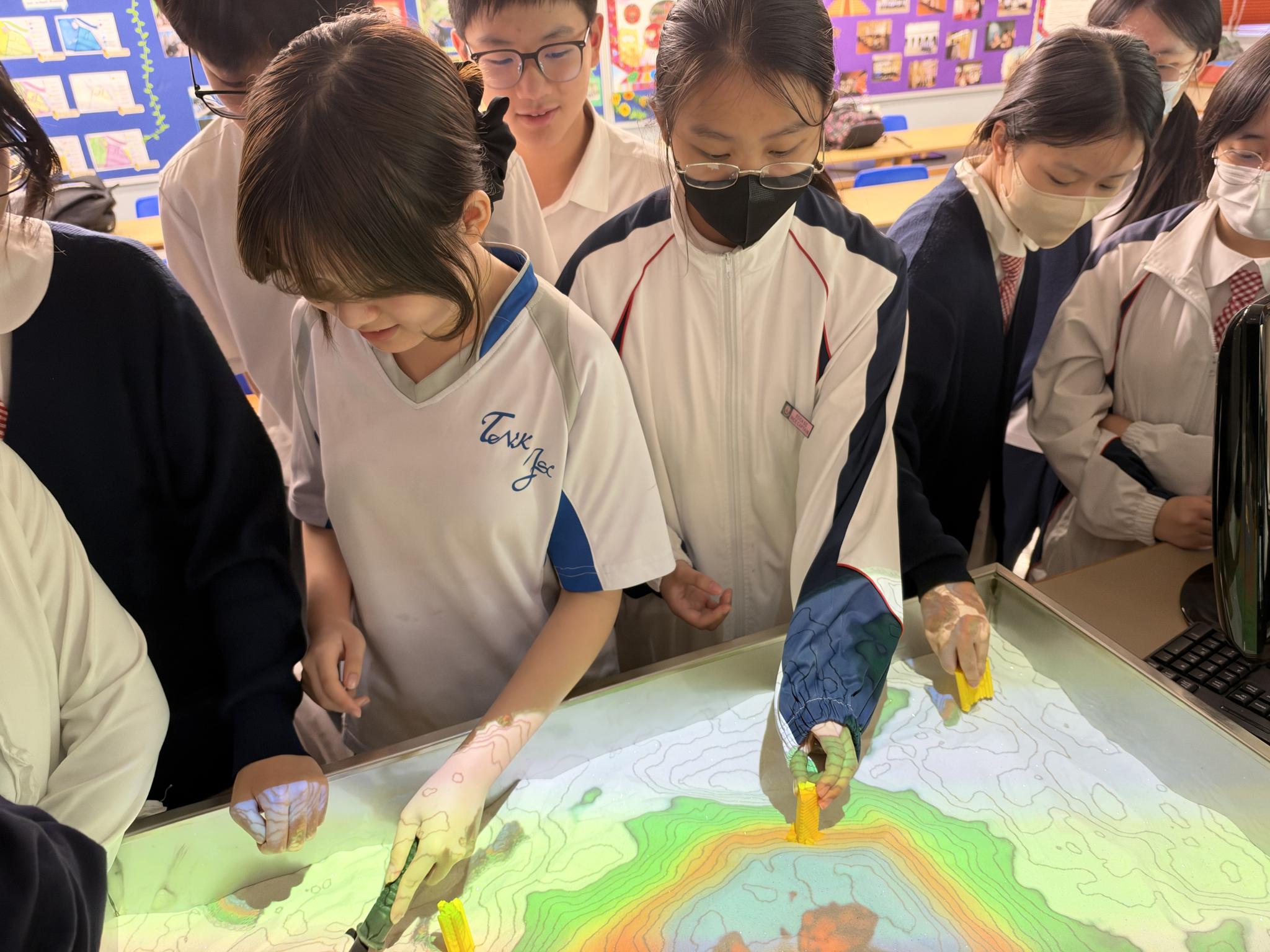
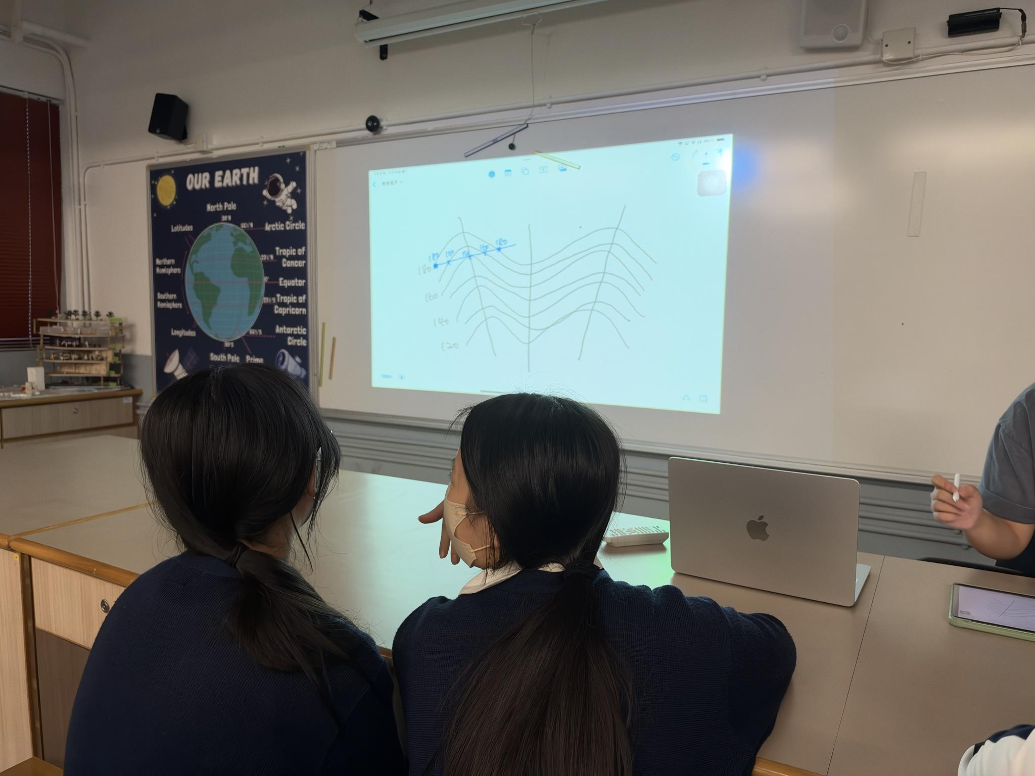
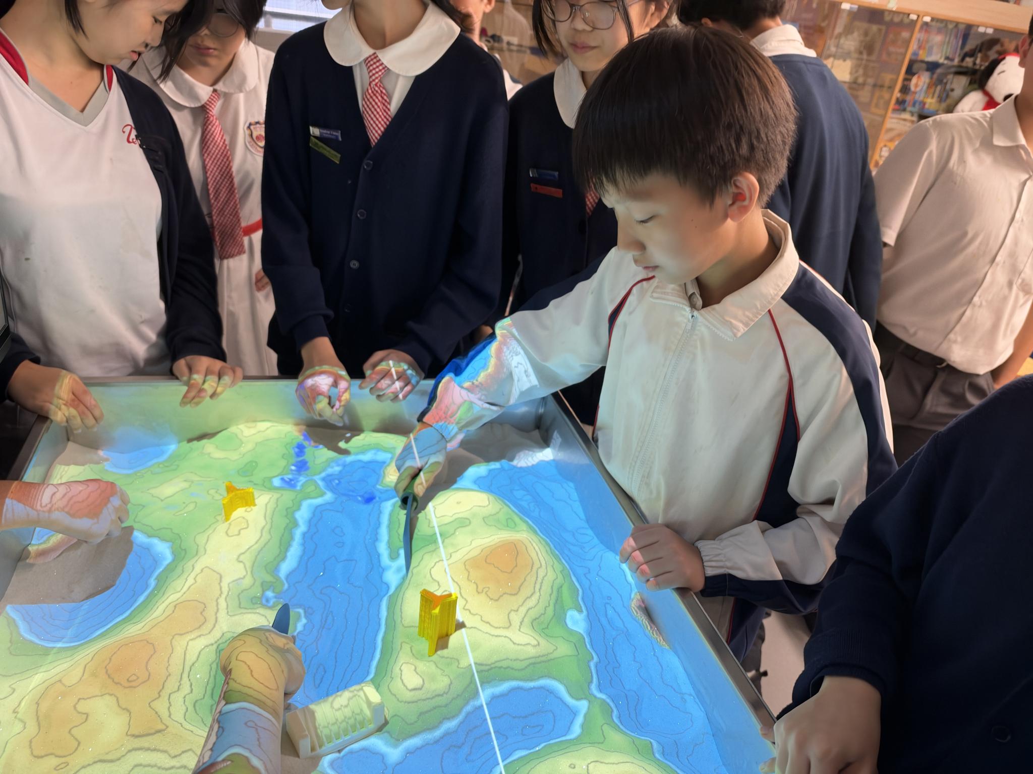
The Integrated Humanities – Geography Unit held AR Sandbox Activities on 9 and 16 November 2026. Using augmented reality technology (AR Sandboxes), students explored volcanic eruptions, melting snow, mudslides, slopes, valleys, spurs, and river channels. They investigated the impacts of climate change on rural and urban areas, learned how landforms affect planning, and developed greater awareness of environmental protection and sustainable development. AR Sandboxes are effective hands-on tools for visualizing landforms, contour lines, elevation, and water flow, helping students connect abstract geographical concepts with tangible, interactive experiences.
 m.TNKJSC(Mobile)
 x.TNKJSC(moXo)
 b.TNKJSC(liBrary)
 p.TNKJSC(Payment & Punctuality)